Last Week's Program - Geospatial Centroid at CSU
.png)
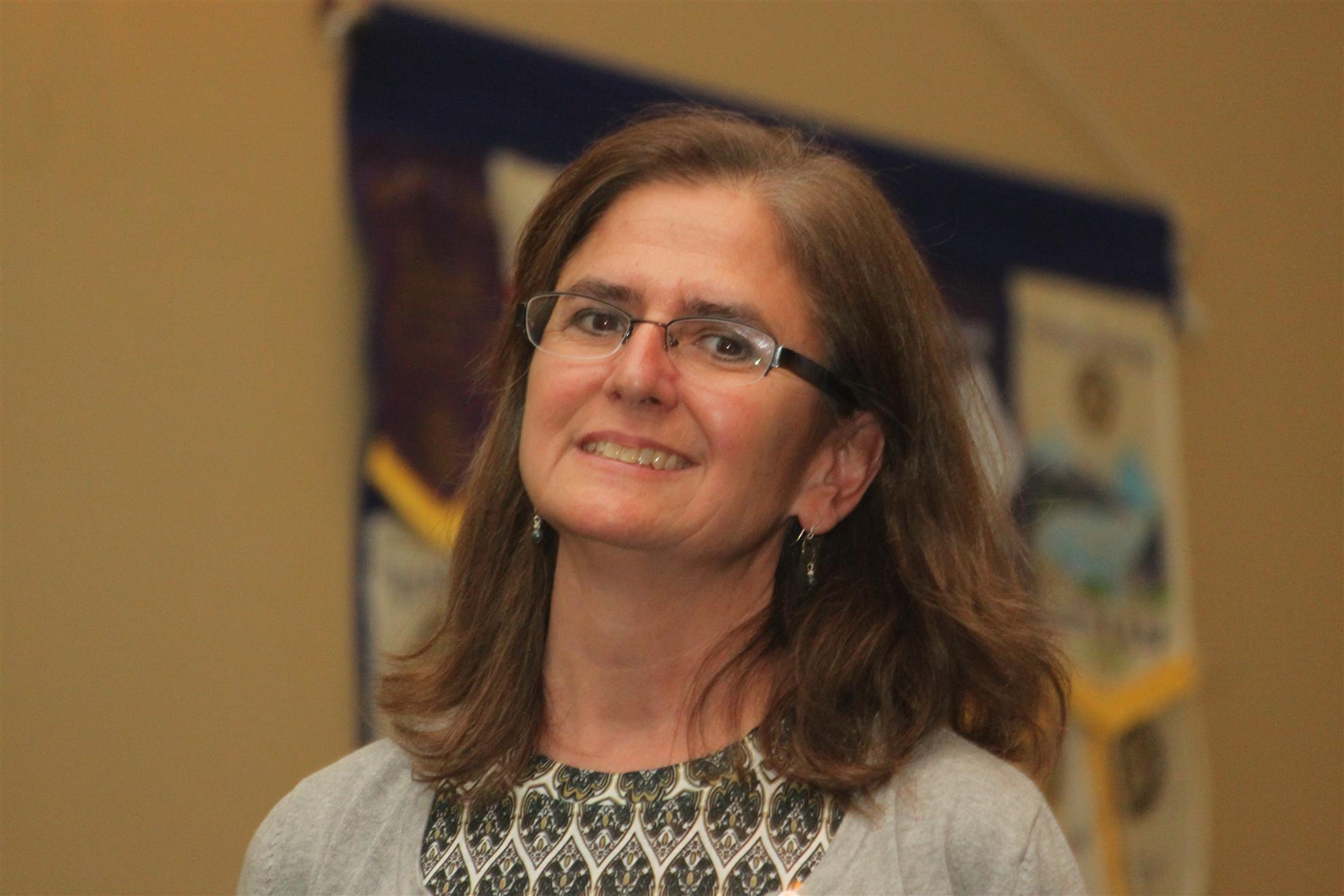
After being introduced by a video from Patrick Burns, CSU's Dean of Libraries, the Director and Associate Director of the University's Geospatial Centroid system, Melinda Laituri and Sophia Linn took the stage to inform us about a program that most of us knew very little about.
Melinda began by noting how the "geographic analysis system" used satellite images and GPS systems to analyze technologies and locations by means of new tools and methods for collecting information. Their central mission, she concluded, is to provide information to enhance technologies.
Sophia then took over the program, noting that since its beginning in 2009, the Geospatial Centroid program had created a centralized location to serve all the campus with a help desk, workshops, and internship programs. She then listed ten of their existing programs which include maps of bus transportation, on-campus tree mapping, elk migration tracing, real estate sales prices, projected land use in Colorado, and a secondary cities project with six different cities around the world.
Sophia then concluded by describing how the Google Liquid Galaxy installed in the library shows Google Earth on a large screen and invited anyone to make an appointment to come and see it and the other items.
Various questions and answers followed, indicating how this presentation had provided a great deal of food for thought.